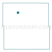
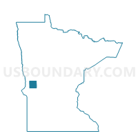
Wendell Voting District, Grant County, Minnesota
About
Outline

Summary
| Unique Area Identifier | 602072 |
| Name | Wendell Voting District |
| County | Grant County |
| State | Minnesota |
| Area (square miles) | 1.05 |
| Land Area (square miles) | 1.05 |
| Water Area (square miles) | 0.00 |
| % of Land Area | 100.00 |
| % of Water Area | 0.00 |
| Latitude of the Internal Point | 46.03590270 |
| Longtitude of the Internal Point | -96.10076130 |
Maps

Graphs
Select a template below for downloading or customizing gragh for Wendell Voting District, Grant County, Minnesota